ʻĀkoʻakoʻa Geospatial Platform
Project Type
Web technology
Status
The Hawaiian word ʻĀkoʻakoʻa has two meanings: to bring together people and to bring together corals. The ʻĀkoʻakoʻa Reef Restoration Program embodies this dual meaning by integrating cultural leadership, multi-modal education, advanced science, and government services to benefit the communities of corals and people on Hawaiʻi Island. This program is founded by the Dorrance Family Foundation, Hawaiʻi Division of Aquatic Resources, and NOAA.
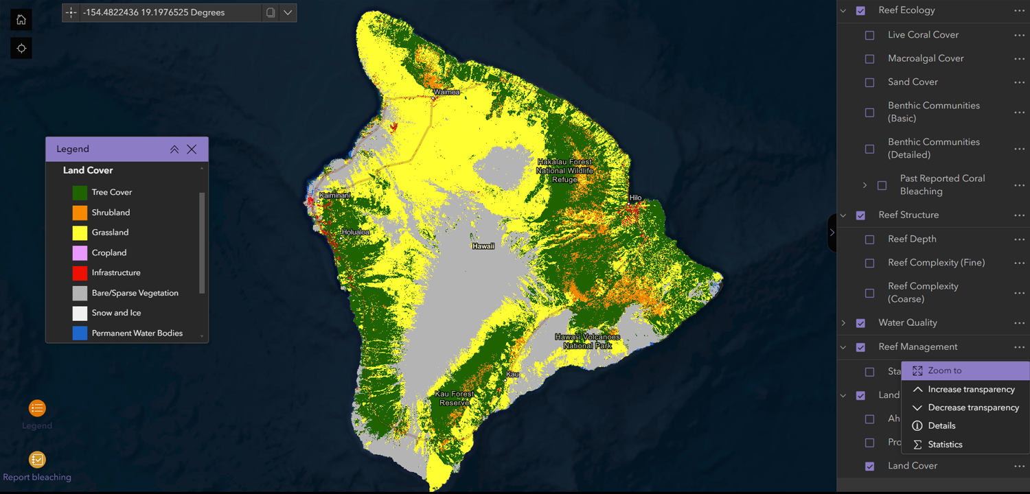
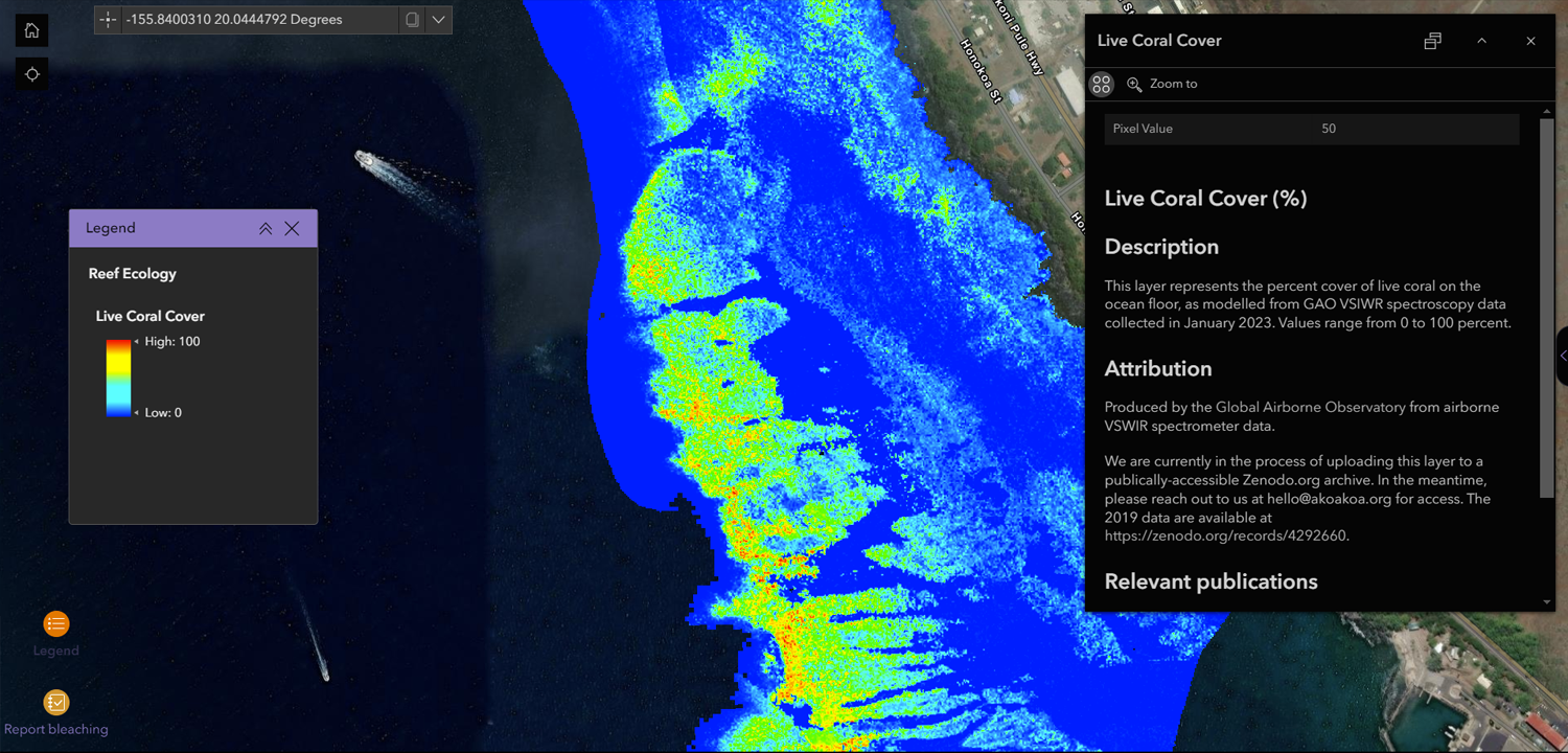
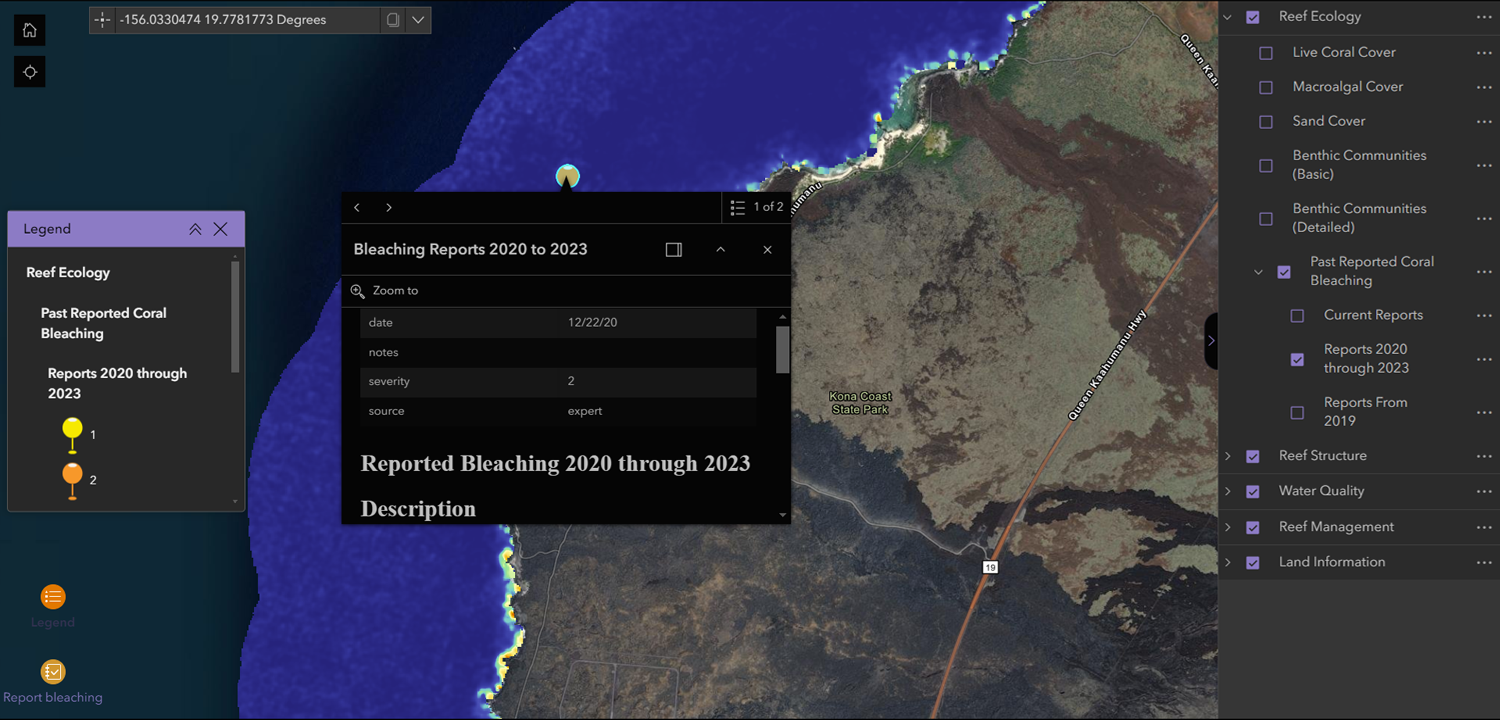
GRS developed a geospatial platform embedded in the ʻĀkoʻakoʻa site, offering an interactive way to explore the 120-mile west coast of Hawaiʻi Island. This region hosts the largest contiguous coral reef in the Hawaiian Archipelago, supporting a diverse array of communities. This geospatial platform aids researchers in reporting, recording, and analyzing the condition of the reefs in West Hawaiʻi, mirroring how people interact with the nearshore environment and emphasizing the long-lasting relationship between people and corals.
Explore: ʻĀkoʻakoʻa Reef Restoration Program


