Digital Twin
Project Type
GIS technology
Status
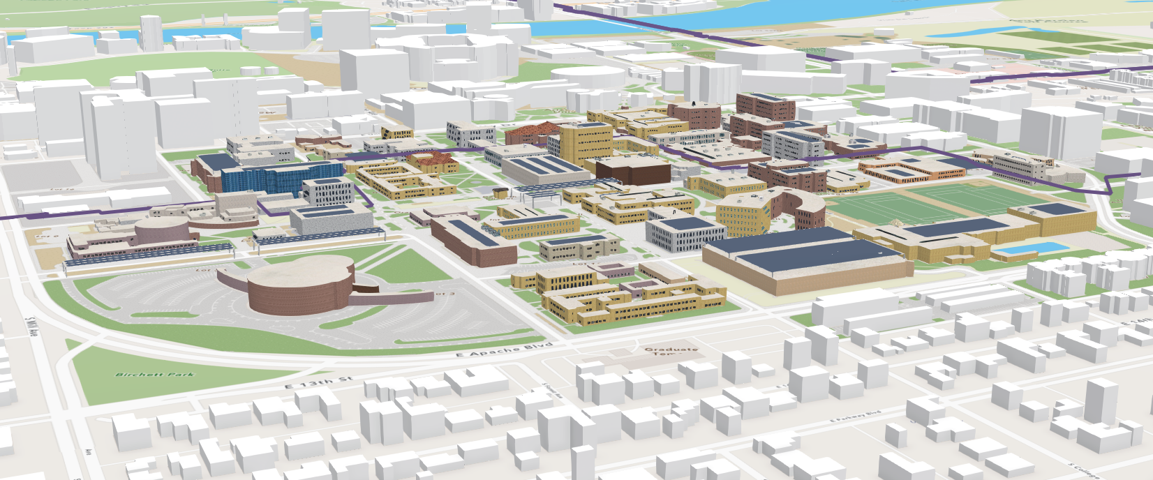
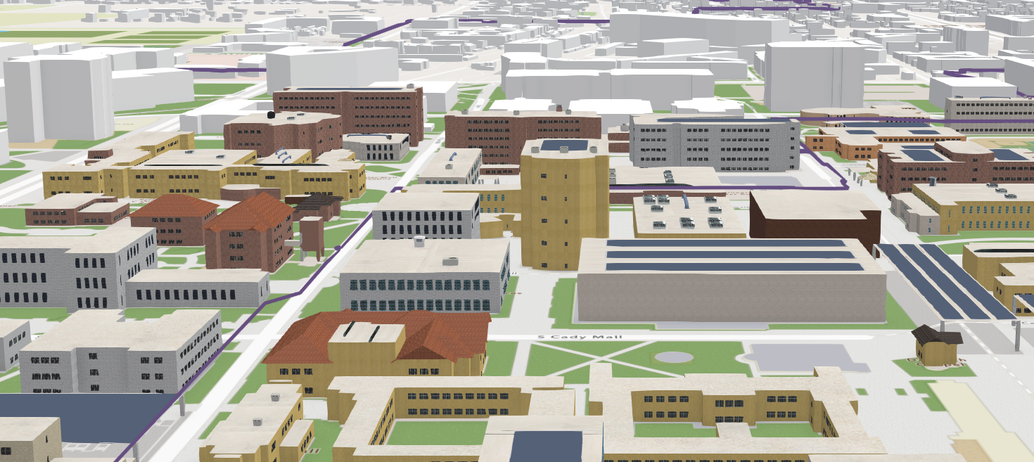
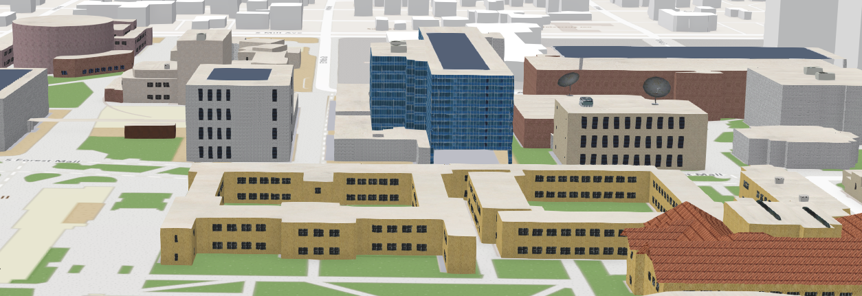
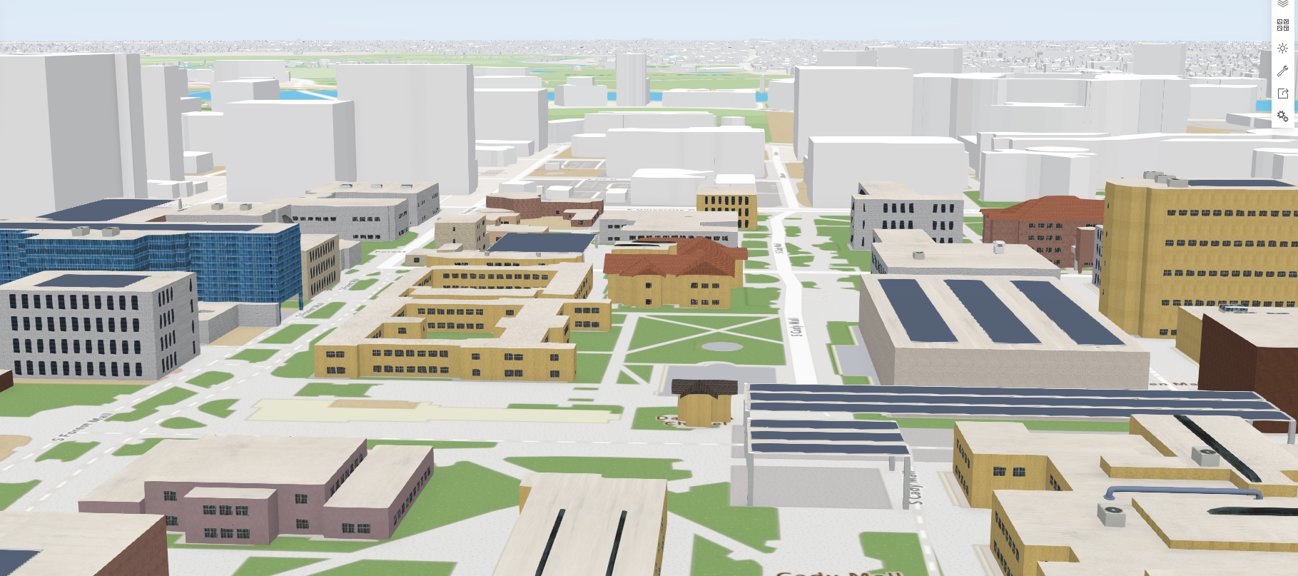
Utilizing ArcGIS CityEngine, the GRS team created a detailed 3-D model of a portion of ASU’s campus as a proof-of-concept for a digital twin for project related to broadband internet access. To put the detailed 3-D model of ASU in context, a more generalized version of the building footprint for Maricopa County was included in this ArcGIS Scene. Height data was already included in the more generalized building footprint layer, while the ASU 3-D model had building heights applied to the building footprint from the USGS 3DEP LiDAR footprint for Maricopa County. ArcGIS CityEngine enables procedural modeling by using a programming language called CGA that ingests a shapefile building footprint and extrudes it based on feature attributes. Various façade textures, window patterns, and roof assemblages can be added to the model to enhance the realistic effect of the model.
News: $34.6M investment in ASU to help create reliable internet access and training for the region


