Geocoding: Mapping Addresses
Project Type
GIS technology
Web technology
Status
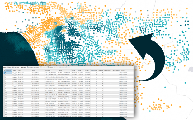
Many researchers need GRS to turn their address data into points on a map, overlay those points with some sort of area (census tract, congressional district) and return a map or a table showing the results. We have geocoded everywhere from 100 addresses to 1 million addresses. Due to privacy issues we cannot show any of our past projects, but they are very similar to the following case.
AARP is a US based interest group that focuses on the quality of life for all elderly residents as they age. The client needed to know how elderly residents of Los Angeles were distributed across the county and where the majority of them were residing. 2015 census data for this project was requested at the census tract level, which was gathered from the U.S. Census and the American Community Survey. Congressional District boundaries were also needed to determine the distribution of elderly residents across these borders. GRS found the information, processed it, and used it to create a map that showed the distribution of retired citizens across the region, then worked alongside AARP to investigate in what regions the majority of elderly residents were residing. Once the overlay analysis was complete, maps were produced in order to show where the highest percentages of elderly people were living in order to send out tailored marketing campaigns to encourage elderly citizens to vote within their district for Social Security and Medicare.