Plan Integration for Resilience Scorecard™ (PIRS™) for Heat

Ladd Keith (University of Arizona) &
Sara Meerow (Arizona State University)
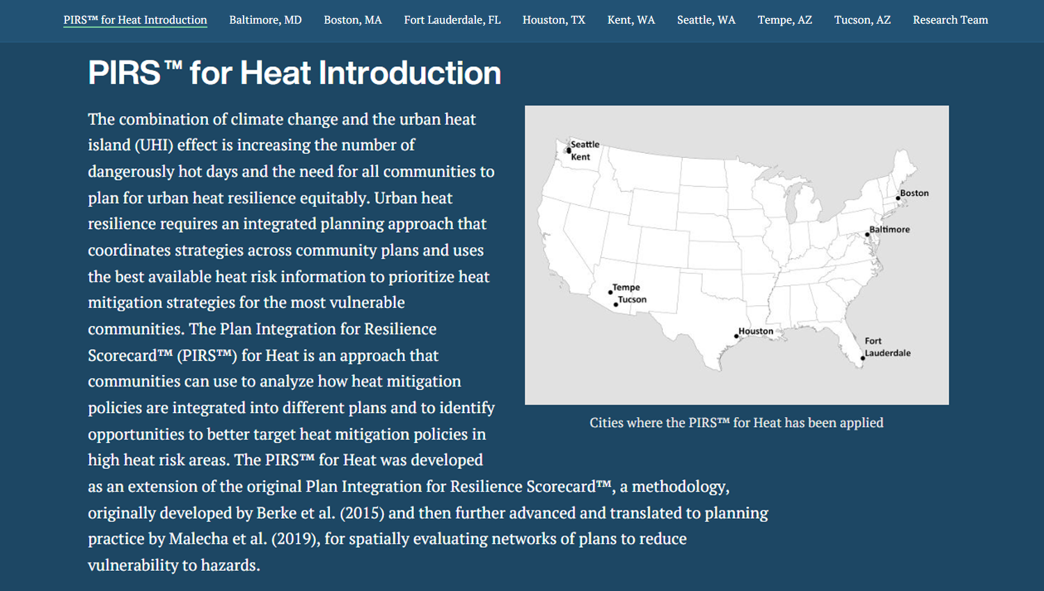
The combination of climate change and the urban heat island (UHI) effect is increasing the number of dangerously hot days and the need for all communities to plan for urban heat resilience equitably. Urban heat resilience requires an integrated planning approach that coordinates strategies across community plans and uses the best available heat risk information to prioritize heat mitigation strategies for the most vulnerable communities. The Plan Integration for Resilience Scorecard™ (PIRS™) for Heat is an approach that communities can use to analyze how heat mitigation policies are integrated into different plans and to identify opportunities to better target heat mitigation policies in high heat risk areas. The PIRS™ for Heat was developed as an extension of the original Plan Integration for Resilience Scorecard™, a methodology, originally developed by Berke et al. (2015) and then further advanced and translated to planning practice by Malecha et al. (2019), for spatially evaluating networks of plans to reduce vulnerability to hazards.
With support from the U.S. National Oceanic and Atmospheric Administration (NOAA) Climate Program Office’s Extreme Heat Risk Initiative and in partnership with the American Planning Association, PIRS™ for Heat was piloted initially in five geographically diverse U.S. communities, including Baltimore, MD, Boston, MA, Fort Lauderdale, FL, Seattle, WA, and Houston, TX. The approach was later applied to three additional cities: Kent, WA, Tempe, AZ, and Tucson, AZ.
ASU’s Geospatial Research and Solutions group used StoryMaps and interactive applications to help the PIRS™ for Heat research team communicate their findings.
Explore: Plan Integration for Resilience Scorecard™ (PIRS™) for Heat StoryMap