SHPO Mapping Project
Project Type
Web technology
Database
Status
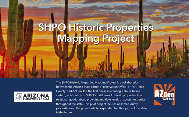
The SHPO Historic Properties Mapping Project is a collaboration between the Arizona State Historic Preservation Office (SHPO), Pima County, and AZGeo. It is the first phase in creating a cloud-based system, which will host SHPO's database of historic properties in a relational geodatabase providing multiple levels of access for parties throughout the state. This pilot project focuses on Pima County properties and the project will be expanded to other parts of the state in the future.
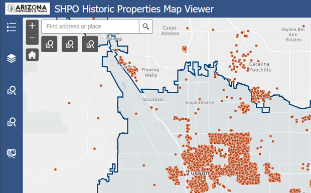
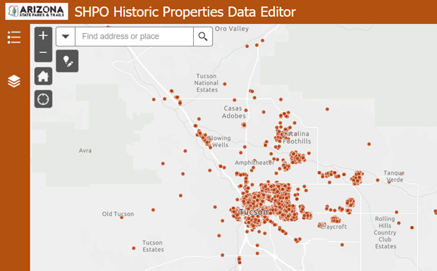
The GRS team contributed to enhancing the accessibility and management of SHPO's historic property database by building the SHPO hub site, the SHPO Historic Properties Map Viewer, Partner Data Editing Site, and Data Repository. The SHPO Historic Properties Map Viewer allows users to view historic properties, query the database, generate reports, find properties of interest, and access related documents. The Partner Data Editing Site offers advanced data access to SHPO personnel and collaborating Certified Local Governments, who can edit data and access data via services. Furthermore, the Data Repository is a cloud-based repository that provides SHPO's historic property data layers to project partners through AZGeo.