DJI Phantom 4 Quadcopter UAS with RGB camera (20MP)
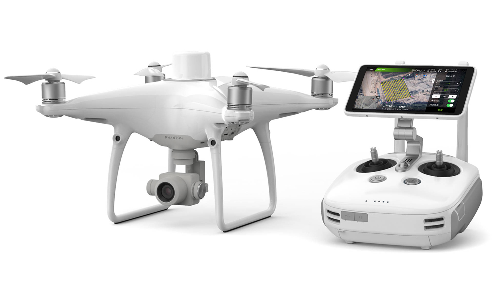
Technical details
• Used for mid-scale survey areas
• Survey grade accuracy (cm-scale)
• RBG Camera: 20MP
Used for mid-scale survey areas, the DJI Phantom 4 provides high-resolution, georeferenced orthophoto imagery mosaics, Digital Elevation Models (DEM) and DSMs at centimeter accuracy.