Trimble S7 Total Station: Scanning, Imaging, Surveying System
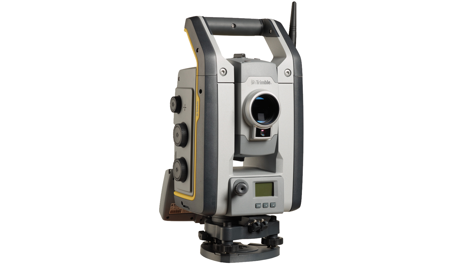
Technical details
• Used for areas with limited satellite availability
• Survey grade accuracy (mm-cm scale)
• Creates 3D models and high accuracy DTMs
An all-in-one imaging, surveying, and 3D scanning system often used for areas with challenges posed by limited satellite availability. Used to create 3D models, high accuracy visual site documentation, point clouds, and more.