Featured Stories
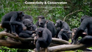
Mapping Liberia for western chimpanzee conservation
Associate Director of GRS Amy Frazier leads research to map and analysis chimpanzee habitat connectivity to aid conservation efforts.
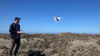
ASU research group helps address critical California sand dune restoration knowledge gaps
ASU’s Geospatial Research and Solutions partners with UC Santa Barbara and U.S. Fish and Wildlife and uses high-resolution terrain mapping to assess coastal resiliency efforts.

GRS Maps Cycling Deaths for Outside Magazine
GRS worked with the nonprofit BikeMaps.org to map cycling deaths in 2020 for Outside magazine. The article mapped and analyzed the data collected on bicyclists killed by drivers in 2020 and found some surprising takeaways.
All News

Mapping Liberia for western chimpanzee conservation
Associate Director of GRS Amy Frazier leads research to map and analysis chimpanzee habitat connectivity to aid conservation efforts.

ASU research group helps address critical California sand dune restoration knowledge gaps
ASU’s Geospatial Research and Solutions partners with UC Santa Barbara and U.S. Fish and Wildlife and uses high-resolution terrain mapping to assess coastal resiliency efforts.

GRS Maps Cycling Deaths for Outside Magazine
GRS worked with the nonprofit BikeMaps.org to map cycling deaths in 2020 for Outside magazine. The article mapped and analyzed the data collected on bicyclists killed by drivers in 2020 and found some surprising takeaways.

GRS research plays key role in lower Salt River restoration
A recently published study from GRS researchers and MAS-GIS graduates uses drone data to map invasive vegetation species with unprecedented detail.
GRS partnership with Gila River Indian Community Utility Authority
ASU partnership with Gila River Indian Community Utility Authority grows electrical infrastructure, fosters next-gen GIS professionals.
GRS wins Geospatial Excellence Catalyst Award
The GRS redesign of the AZGeo Data Hub repository makes critical Arizona geographic information more accessible for state, local organizations as well as the public.
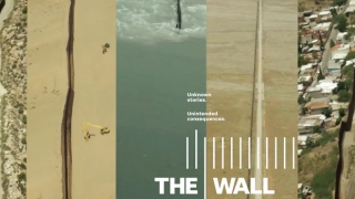
Mapping the Border Journalism Project Yields Pulitzer Prize
GRS creates the most complete map of the US-Mexico border currently in existence as part of "The Wall" series, winner of the 2018 Pulitzer Prize for Explanatory Reporting.
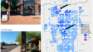
ASU uses GIS to create a plan for a more livable, walkable Tempe
GRS researchers help model transportation networks for a “20-minute city” with the results published in the journal Sustainability.
Mapping the coming eviction crisis: ASU uses historical eviction tracking to predict future impacts
GRS teams up with ASU’s Knowledge Exchange for Resilience to model post-pandemic eviction surge potential in Maricopa County

GRS supports census response research in Arizona
Working with ASU's Knowledge Exchange for Resilience (KER), GRS maps census response rates across the state of Arizona using data feeds directly from the US Census Bureau.